2011 in 12 Photos

As I have done in past years, this post highlights one image from each month of the year. These are not the 12 best photos of the year, just the 12 that tell the story of 2011, a very difficult year which ended in bright light.

January

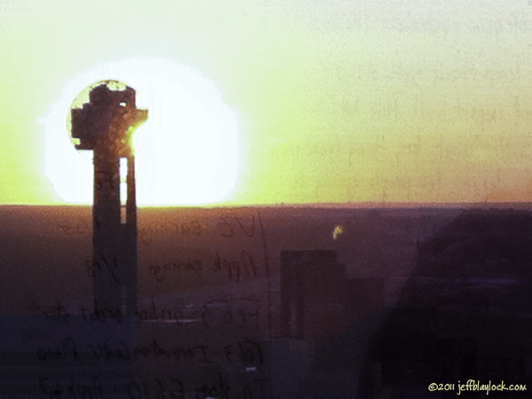
War Room Sunset ©2011 Jeff Blaylock

The sun sets behind Reunion Tower as seen from my office, the Corporate Communications War Room in the headquarters building of AT&T.

February

Chisos Romps in the Snow ©2011 Jeff Blaylock

Chisos romps in the nearly 4 inches of overnight snowfall in the backyard.


(more…)

A Fortnight in the Bend, Part 6

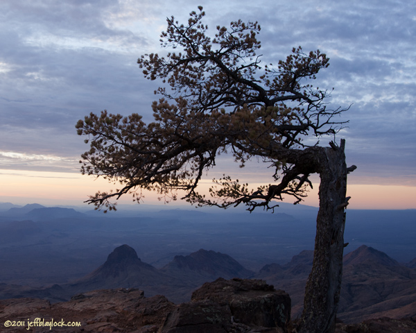
Juniper at Sunrise ©2011 Jeff Blaylock

A bent-over juniper watches another sunrise from its perch upon the South Rim.

Continued from Part 5.

There’s not really a lot to say about that night and the next day, except that I had them, and all the South and East Rims it seemed, to myself. I hadn’t seen anyone since Pinnacle Pass, and I wouldn’t see anyone for a day and a half. It was cloudy. The sunset would’ve been a dud, but I was on the South Rim, so it didn’t disappoint.

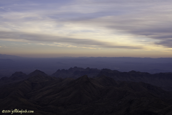
Cloudy Sunset From the Rim ©2011 Jeff Blaylock

Clouds and trees blocked the stars that night. I sat beside the bear boxes, just about the only place I could put myself in that cramped little campsite, to cook and eat and listen to some tunes. The inside of the bear box made a nice speaker system for my iPhone. “London Homesick Blues” and “Terlingua Sky” were the first two songs.

It didn’t rain overnight, as predicted, but the breeze picked up, and the clouds streamed by more rapidly. There were some breaks in the clouds, which added some dazzling moments to the sunrise (Monday, Nov. 14).
(more…)

A Fortnight in the Bend, Part 5

Pulliam Bluff From Maple Canyon Trail ©2011 Jeff Blaylock

Pulliam Bluff looms above Maple Canyon, as seen from a seldom traveled trail in the lower Chisos Mountains.

Continued from Part 4.

Lisa, my fiancee, had left for home, after too short a visit, but we were glad for the time together. Thus far the trip was shared with good friends and the love of my life. The trip’s last days were for me to enjoy alone. With the car loaded up, I had one last breakfast in town, one final stop at the Cottonwood grocery store and one more drive east from Maverick Junction.

After setting up camp in the Basin for a single night, I proceeded to unpack the car completely, organize my backpacking stuff for a two-nighter and repack the car. With some time left in the afternoon, I drove back over the pass to the trailhead for Maple Canyon, another of those trails I’ve always wanted to take but never prioritized.
(more…)

A Fortnight in the Bend, Part 4

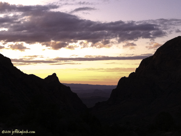
Sunset From Cottage No. 103 ©2011 Jeff Blaylock

Sunset from Roosevelt Cottage No. 103 in the Basin.

Continued from Part 3.

Neither my fiancee Lisa nor I had ever stayed in the Roosevelt Cottages before, and we lucked into one night in No. 103. The view of the Window is magnificent.

Our friends Walter and Suzanne enjoyed the sunset and some brews on the patio, then left to enjoy their last night in the Bend. After dinner, we watched the stars wheel over the moonlit Basin with our constant companion, the wind.

The next day (Thursday, Nov. 10), we packed up to leave the cabin and made reservations for a cabin at the Chisos Mining Company property in town. We swung by Panther Junction so I could get a permit for the rest of the trip. Then we headed down the Ross Maxwell Scenic Drive for the Upper Burro Mesa Pouroff trailhead. This was a hike neither of us had done; it has always fallen below other “more important” destinations. I can’t believe we waited so long to do this wonderful hike.
(more…)

A Fortnight in the Bend, Part 3

Fresno Creek Waterworks ©2011 Brett Price

My buddy Brett's photo of the Fresno Creek Waterworks.

Continued from Part 2.

While Brett continued to filter water, I carried my mortally wounded camera back to camp. I have carried a backup camera for hundreds of miles on and off trail, but not this time. Fortunately, my hiking partner had his, so there would be photos of the day’s exploration. As I returned, he was wrapping up the last water bag. We loaded up and headed down the creek.

The plan was to hike down Fresno Creek until we reached any pour-off we couldn’t climb back up, then make for the ridge dividing Fresno Creek from an unnamed tributary. From there, we would hike down to the bottom of the Waterworks and explore as far as we could go upstream. Once we got water, we would return via the Elephant Tusk Trail, then trek to a nice viewpoint on the Dodson Trail to camp. It was already quite warm.
(more…)

A Fortnight in the Bend, Part 2

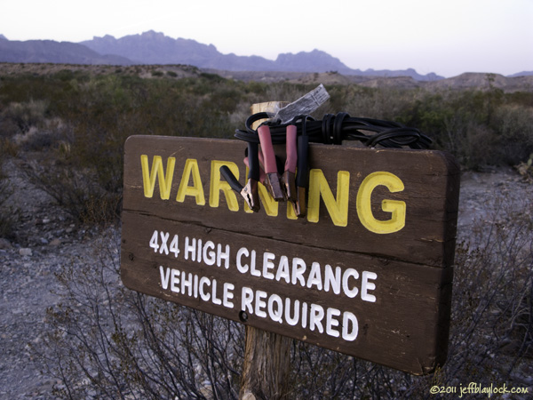
Warning Sign on Black Gap Road ©2011 Jeff Blaylock

The warning sign on Black Gap Road was a perfect place to keep our jumper cables.

Continued from Part 1.

I’ve carried a SPOT Messenger, first generation, on my treks for a few years now. The device transmits current coordinates and one of three predetermined messages to a list of email recipients. The only message I had ever sent was “I’m OK” (sometimes “We’re OK”). A second option is a button marked “911” that activates SPOT’s emergency response system. The third option, a button marked “HELP,” had the following message attached to it:

“Non-life threatening incident has occurred. Please contact NPS at 432-477-1158 and give coordinates”

It has always said something like this. I always envisioned it as a means of obtaining help without summoning a huge rescue effort or bringing in the cavalry. We had three days’ worth of food, two coolers full of water, lots of experience in the desert, shelter, and an ability to walk to civilization. That said, finding a vehicle that could jump ours would be a lot easier.
(more…)

A Fortnight in the Bend, Part 1

Crown Mountain in a Shaft of Light ©2011 Jeff Blaylock

Crown Mountain glows in a shaft of light from the setting sun and throws its shadow upon the Deadhorse Mountains.

O Lord, O Lord
Been so long on this dusty road
Oh mama, I need a leg to stand on.
I need a card,
I need a card.
Hit me, not too hard!
Oh mama, I need a winning hand.

— Railroad Earth, “Elko”

This has been a hard year, capped by the death of my father four months ago. Even in times of hardship and pain, the very thought of going back to Big Bend has always been a bright spot. Of late, even that had faded, as I was not sure when I would return. I found myself planning no trip, considering no dates for return or places to go once I got there. My last trip there was in the spring – it was my first in over a year. The next one … who knows?

This trip, in November 2011, was unexpected and unplanned. As early as a week before, I had not thought about going to Big Bend in November, as there was no opportunity to get away from my job in Dallas. Then it appeared, a chance, not only to return to the beloved desert, but also to go for more than two uninterrupted weeks. In the few days prior to departure, I focused on gathering my gear together for car camping, backpacking and some lodging nights. Many of the pre-trip activities I usually do – map making, GPS loading, itinerary planning, menu making – were left undone. I had one vague plan, which was to backpack to the Waterworks area of Fresno Creek, and this would be sufficient to lure my old pal Brett out for almost a week.
(more…)
End of the Mesa de Anguila Trek

Approaching the Saddle ©2010 Jeff Blaylock

Final approach to the saddle, the low point along the Mesa de Anguila's northern wall and easiest access route to the desert below.

Continues from “Hiking Back to Canyon Flag Camp”

Had we been able to follow our original plan, we would have awakened Saturday morning (April 3) above the mouth of Santa Elena Canyon, watching the sun rise over the distant Sierra del Carmen, or perhaps the Sierra Quemada. Instead, a lack of water on the Mesa de Anguila pushed us into visiting the canyon rim as a long dayhike. Now it was simply a matter of hiking back the way we’d come.

But first, we watched another beautiful sunrise from our campsite beneath Canyon Flag.
(more…)

Hiking Back to Canyon Flag Camp

Hiking Across the Mesa de Anguila ©2010 Jeff Blaylock

Ryan and Brett try to decipher the ridges to pick the best route back to camp.

Continued from “On the Rim of Santa Elena Canyon”

Our time on the rim of Santa Elena Canyon was too short, but the lack of water on the Mesa de Anguila had forced us to turn the trek into a long dayhike. It was now time to return to our campsite beneath Canyon Flag, visible on the horizon as a mesa rising above the rolling plains. The problem was, the “rolling” aspect of the mesa was practically invisible.
(more…)

On the Rim of Santa Elena Canyon

Me on the Rim of Santa Elena Canyon ©2010 Ryan Becker

Me on the rim of Santa Elena Canyon at "The Point" above the canyon's mouth | Photo by Ryan Becker

Continues from “Hiking Off-trail to ‘The Point'”

From our campsite on the southern slope of Canyon Flag, it was a 6.75-mile walk to “The Point” above the mouth of Santa Elena Canyon. It is an exquisite viewpoint. The southern half of Big Bend National Park is visible from here, as are the Christmas Mountains and the wilds of Big Bend Ranch State Park. The Sierra Ponce of Mexico stands high above the green ribbon of the Rio Grande as a mighty rampart of limestone, and the buzzards wheel overhead on drafts rising from the desert below.

It is definitely worth the effort to reach this seldom visited place.
(more…)